
LandXML(TIN)ビューワー
by 【JPS】位置計測をよりカンタ...
🗂️ Productivity

Features LandXML(TIN)ビューワー
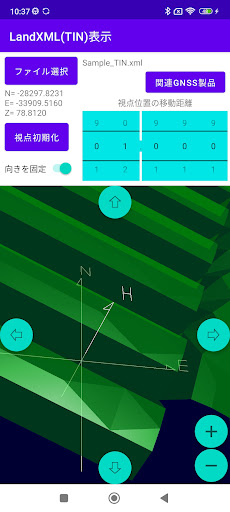
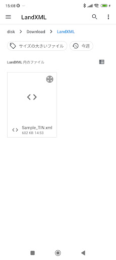
It is used as a terrain data model in public works in the field of civil engineering and construction.This is a viewer app that supports LandXML format (TIN surface) files.You can read the terrain model saved in LandXML format and display it on the screen, display the data from a free viewpoint, and check the 3D coordinates of the point being displayed.Instruction manual link for this apphttps://drive.google.com/file/d/1e4kmuoj7qBXRVUY32fyD1o3Du8Q31Jet/view?usp=sharingFor compatible GNSS observation systems, please contact us from the following site.https://www.qzss4survey.com/
Secure & Private
Your data is protected with industry-leading security protocols.
24/7 Support
Our dedicated support team is always ready to help you.
Personalization
Customize the app to match your preferences and workflow.
See the LandXML(TIN)ビューワー in Action
Get the App Today
Available for Android 8.0 and above